
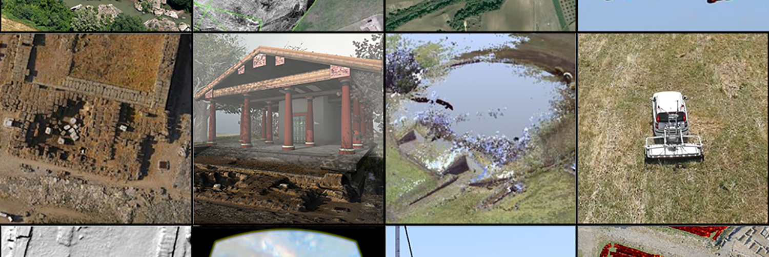
Methods
- 3D Model
- Map/GIS
- Photogrammetry
Vulci 3000 is a multidisciplinary project of archaeological research involving the use of advanced digital technologies and focused on the Etruscan and Roman site of Vulci (Italy). The title of the project recalls the importance to reinterpret the site in the 3rd millennium: by new research methods and digital technologies.
Vulci (10th-3rd c. BCE), in the Province of Viterbo, Italy, was one of the largest and important cities of ancient Etruria and one of the biggest cities in the 1st millennium BCE in the Italian peninsula. The habitation site is a unique stratified and mostly untouched urban context that includes, in the same area, Iron Age, Etruscan, Roman and Medieval settlements. It had an area of circa 126 hectares and an estimated population of thousands of inhabitants in the Classical period (6th-5th cent. BCE). It was part of the Etruscan dodecapolis, the Etruscan federation of the most important cities of Etruria. In the second half of the 4th century BCE, Vulci started to face the impact of Roman expansionism. In 280 BCE, it had to abandon a large part of its territory, and this was the beginning of its decline. There are several thousands of tombs in the necropoleis (8th– 4th cent. BCE) surrounding the city and most of them are unexcavated (but many others are looted). Famous aristocratic tombs such as “La Cuccumella”, the “Francois tomb” and, more recently, the Silver Hands tomb (http://www.archaeology.org/issues/138-1407/features/2170-etruscan-tomb-of-the-silver-hands) show the key role of the city during the Orientalizing Period and after, in terms of exchange, political and social rank, production of valuable goods and trade in the entire Mediterranean basin. The spatial organization of this impressive funerary complex and its connection with the development of the Etruscan city has still to be properly investigated and interpreted.
The research agenda of this project involves: a) the study and contextualization of the site in the archaeological landscape (predictive modeling, paleo-environmental studies, aerial survey and geophysical prospections); b) archaeological excavations in the area of the “Western Forum” (2016-2018) as first test for a longer term fieldwork project; c) the creation of a virtual reality platform for the Park dedicated to the museum and the park visitors and concerning the virtual reconstruction of the Etruscan and Roman city. The area of excavation and the main research questions of this proposal are validated by two years of archaeological prospections (2014-2015) on site: magnetometry, georadar, terrestrial laser scanning, digital photogrammetry, DEM (digital elevation model) virtual reality and digital mapping by UAV (Unmanned aerial Vehicle).
Participants
- Nevio Danelon
- Katherine McCusker